
Urban planning refers to all interventions on the built fabric, transport networks, public spaces, and infrastructures that structure the daily life of a city’s inhabitants. In France, this area of action is now framed by strong regulatory constraints, particularly since the Climate and Resilience Law of August 22, 2021, which imposes a target of zero net land artificialization by 2050.
Zero net artificialization: the land constraint that redefines urban planning
The principle of zero net artificialization (ZNA) represents a paradigm shift for local authorities. Before this law, an urban expansion project could consume agricultural or forest land without any obligation for compensation. This is no longer the case.
The first regulatory step requires a halving of the consumption of natural, agricultural, and forested spaces by 2031. The 2050 deadline sets a zero balance between artificialized surfaces and those returned to nature.
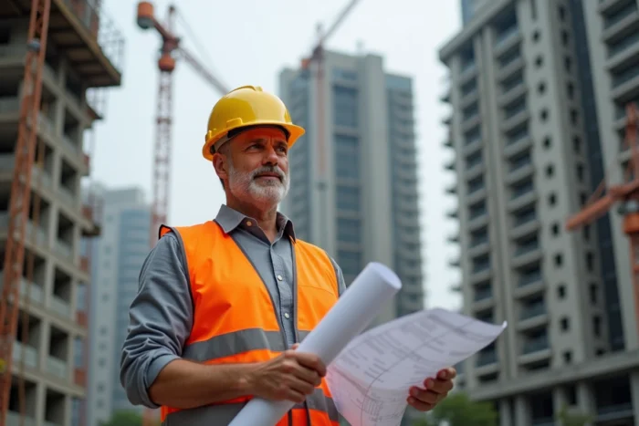
In practical terms, this constraint pushes urban planning projects towards three levers: densification of already built areas, land recycling (demolition-reconstruction on existing plots), and the repurposing of industrial or commercial wastelands. To better understand the stakes of urban planning in this regulatory context, it is essential to assess how much available land now conditions every territorial development decision.
The ZNA does not only concern large metropolitan areas. Rural and peri-urban municipalities, accustomed to suburban sprawl, must also revise their urban planning documents to comply.
Climate resilience and water management in urban projects
Repeated heatwaves and flooding events have shifted the priorities of urban planning. Climate resilience is no longer a secondary objective: it shapes technical choices from the design of public spaces.
Heat islands and de-impermeabilization
A surface covered with asphalt or concrete absorbs heat during the day and releases it at night, maintaining high temperatures in city centers. De-impermeabilization of soils – replacing impermeable surfaces with porous coverings, bare soil, or green spaces – reduces this effect.
This work has a dual benefit. By allowing rainwater to infiltrate on-site, it also decreases runoff that saturates sewage networks during heavy storms. The green and blue frameworks, integrated into recent urban planning regulations, formalize this approach by connecting natural spaces and waterways throughout the urban fabric.
Strengthened obligations on biodiversity
Urban planning law now includes explicit requirements for the protection of biodiversity in cities. Projects must provide for ecological continuities (hedges, grassy strips, green roofs) to allow species movement.
Water management and biodiversity are no longer options in a building permit or a local urban plan: they are part of the assessment criteria.
Mobility and public spaces: rethinking the place of the car
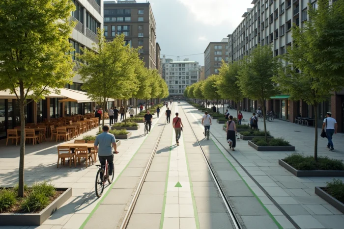
Mobility planning remains one of the most visible levers of urban planning. The share of road space dedicated to cars in French cities far exceeds that allocated to pedestrians or cyclists, a legacy of decades of vehicle-centered urbanism.
- The development of secure bike lanes changes the distribution of public space and reduces car dependency for short trips.
- Low-traffic zones (such as “city 30” measures) reduce noise pollution and improve air quality in residential neighborhoods.
- Access to public transport conditions the attractiveness of neighborhoods: a poorly served area loses residents to better-connected zones, exacerbating urban sprawl.
- The repurposing of parking lots into green spaces or public squares frees up land without artificializing new surfaces.
These decisions are not politically neutral. Reducing the space for cars in a city center provokes opposition, particularly from merchants who fear a drop in foot traffic. Experience shows that pedestrianization ultimately increases commercial attractiveness, but the transition remains contentious.
Urban planning and services for residents: beyond the built environment
Urban planning is not limited to laying out roads and erecting buildings. The quality of life for city dwellers also depends on the presence of accessible public facilities: schools, health structures, cultural and sports spaces.
A well-designed neighborhood architecturally but lacking nearby services generates additional travel and reinforces territorial inequalities. Functional mix, which combines housing, commerce, and facilities, reduces these trips and keeps urban spaces lively at all hours of the day.
Urban planning agencies like AGURAM work on operational urban projects that integrate these dimensions from the programming phase. The principle is simple: anticipate uses before solidifying built forms, rather than adapting services once constructions are completed.
The demographic challenge also weighs on these choices. Cities attracting new residents must size their facilities accordingly, while those losing population face fixed maintenance costs on oversized infrastructures.
The urban planning of the coming decades will depend less on the ability to build new than on the capacity to transform existing structures. Between the ZNA that limits sprawl, climate requirements that mandate de-impermeabilization, and the need to maintain accessible public services, the leeway for local authorities is tightening. Every square meter of urban land must serve multiple functions: infiltrate water, support life, and serve the residents.